KNOW WHERE
– Your customers are
– You need to deliver services
AfriGIS GISlike enables our clients across various government and private industries to adjust their trade areas, sales strategies and decision making processes.
Information is visually displayed on different maps, such as heat maps, immediately indicating areas to be reviewed.
AFRIGIS GISlike is an online mapping and analysis application that enables you to streamline your planning and operations by mapping your own data, together with extensive AfriGIS and Census datasets – therefore you can view and analyse your customer data on a map and then adjust or modify your trade areas or maintenance and sales strategies in context of Census and other AfriGIS datasets.
AfriGIS GISlike Interface | Streamline your planning with AfriGIS GISlike

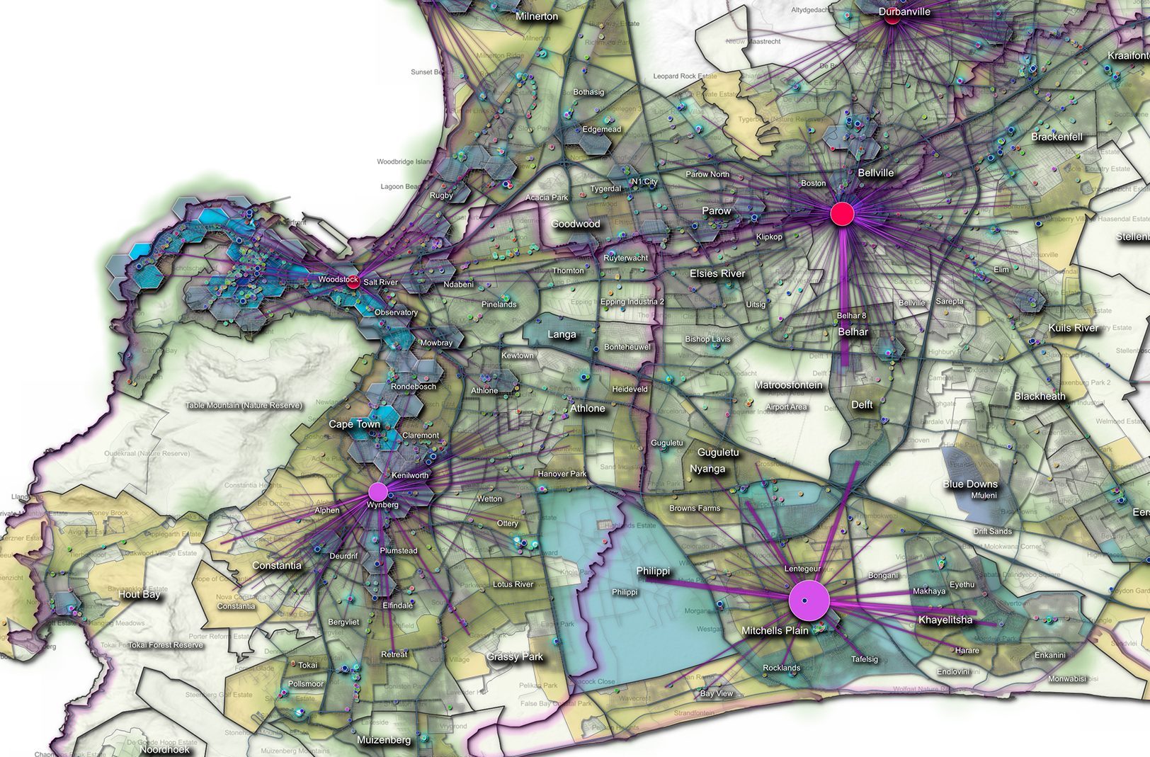
Thematic Map

Heat map with Population Density Suburb Layer

Population Density Heat map

BENEFITS
- Free online demographic mapping
- Market, consumer and risk profiling
- Market research
- Risk analysis / management
- Trend analysis
- Gap analysis to determine potential business areas
- Municipal asset management
- Powerful simplicity