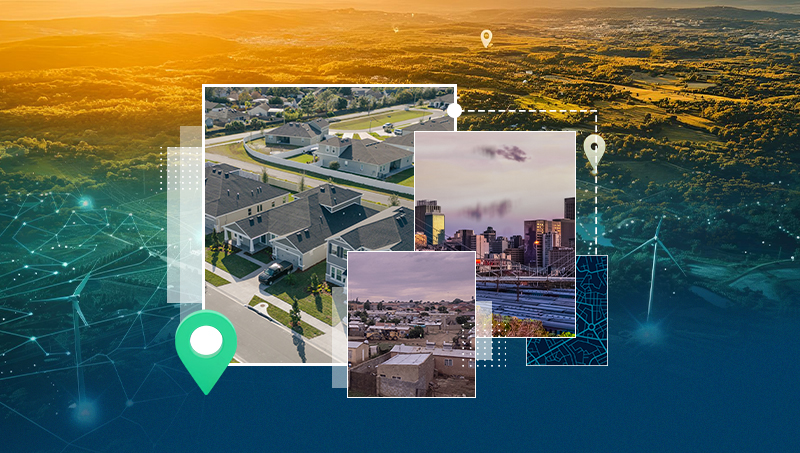
Technology today ensures that we are constantly bombarded with data from all sides. This data is, however, useless unless it can be understood, manipulated and turned into information. Geographic information and communication company AfriGIS does just this and has a carefully designed product portfolio that will give you the competitive edge in today’s business environment.
Magnus Rademeyer, managing director at AfriGIS, drilled down into the company and its various functions during an informal session with TechSmart Business. “In a nut shell, AfriGIS is a technology innovation company. We create geographic information and communication solutions across the board for government, business and consumers. This said, our primary focus does lie within the business to business sphere where we feel we generate the most value for our customers.”
The company uses geographic data as the basis of many or their particular functions and, from there, they have developed four technology enablers which leverages the wealth of information generated from the geographic data. “The first technology we have on hand is AfriGIS Mapserver, a mapping technology which is similar to that of Google Maps. The next level enables one to search the geographical information data sets. This means that any geographical information you need is readily available whether it is addresses, or specific elements around demographics to name but a few. The third leg revolves around communication, specifically focussed on mobility. This gives you the ability to communicate the answers generated from the first two tiers and receive questions via the mobile network. The last aspect involves payment integration. We do not profess to be a payments company but realise that if you have a mapping, searching and communications ecosystem there is, on occasion, the need to integrate with a payment capability.”
This, if you understand it all, is gold, but for the laymen out there it essentially boils down to ‘what am I buying?’ “To me,” says Rademeyer, “these enablers are beautiful. I understand them and have been working on them for many years. We have, however, realised that they need to be shrink-wrapped and made consumer-friendly. With this in mind we have created easy to use applications for the mobile industry at large. The first is the AfriGIS Mobility Framework which answers four basic questions in order to fully utilise the geographic data on hand. The first question is Where? To answer this we position a mobile device either through the cellular network, GPS or via an address, point of interest or landmark.”
The next question that is asked is, how do I get there? “Whether it be a customer or asset the most efficient route is planned and customers and employees are sent there via turn by turn, voice guided, navigation. We created a platform that would work on all mobile phone brands making access simple and user friendly. With the inbox functionality a user can be directed to a destination with one click and no need to enter an address.”
The third quadrant addresses the question “What do I do when I get there?” This could range from taking orders, dropping off merchandise, receiving payments or whatever function needs to be addressed.”
Closing the loop, the fourth question is boiled down to – so what? “Essentially, this is where we analyse and evaluate the data and report back on the performance. This is vital in planning and production in any company. If we look at what we have just achieved we can break it down as follows; where was I supposed to go in the first place, was I correct, did I take the most efficient route, did I get to all the customers I planned on? We can then extrapolate and analyse the data and implement processes and procedures to make us more effective and efficient. We can see what the catchment area looks like, how many customers there are, how many sales reps are servicing the area, etc. With this information we can assign resources and ensure maximum utilisation. In summary, by applying the components within the mobility framework you generate the data to improve your planning and execution.”
The complete solution would seem to be a logistics managers dream and AfriGIS has a number of products that serve the four quadrants.
Where: AfriGIS TRACB, Simseek
How: AfriGIS Navigator
What: AfriGIS Forms Solution
Evaluate: GISlike
Published in TechSmart Business May/June 2013
www.techsmart.co.za